Thursday 18 October 2018

Amarkantak Oct2018

Situated on the borders of Madhya Pradesh and Chhatisgarh , Amarkantak is a hill-station 164 Km (via Katghora , Pendra and Keonchi) from NTPC-Korba , 121 Km from Bilaspur(via Kota) and 135 Km from Bilaspur (via Ratanpur, Marwahi Bypass road) . The hills ,  thick forests and cool climate of Amarkantak allures a traveler to revisit the place.
Amarkantak is also a place of religious importance and the source of two important Indian rivers, namely the Narmada and the Son rivers.
Our latest visit to Amarkantak was in Oct2018 and our route was via Katghora , Pendra and Keonchi . We reached Amarkantak in the evening. In October , the evenings in Amarkantak are pleasantly cool . After checking into our rooms , we visited the Narmada temple which was a walking distance from our lodge . After the temple visit , we had our dinner and retired for the day.
The next morning we woke up early and headed to the Sonmuda point to see the sunrise , but alas , we were late and the Sun was already up in the sky. Nevertheless , the views from Sonmuda point are always magnificent and impress the tourist. The pleasant cool and fresh morning breeze makes the Sonmuda visit a memorable one.
Notes : 1. Beware of the monkeys here, they snatch your eatables.
             2. The local restaurants here are over-priced and serve poor food.

Sunrise from Sonmuda point

The forests waking up in morning sunlight

           
Eastern view from Sonmuda point
  
Northern view from Sonmuda point


The vast expanse of nature seen from Sonmuda point

While returning from Sonmuda point , we visited the Sri Yantra temple. At our lodge we quickly refreshed ourselves and started our tour of Amarkantak.
Sri Yantra Temple
Sri Yantra Temple


Sri Yantra Temple
Sri Yantra Temple , Interiors


Narmada Temple

Lotus lake near Narmada temple

We visited the ancient group of monuments which are a group of ancient temples maintained by Archeaological Survey of India (ASI) . These group of temples are adjacent to the Narmada temple . Presently (as of Oct2018) there is no entry fee to this site .The temple complex  consists of five temples beautifully constructed in stone-masonry . Gardens , landscaping and fountains maintained by ASI is commendable. The Karna temple and the surrounding lawns are good for family sitting.

Note : Here vehicle (4-wheeler) parking charges is Rs.50/-

Ancient group of monuments

Ancient group of monuments

Shiv Mandir , Ancient group of monuments


Ancient group of monuments

Good place for family sitting


Karna temple, Ancient group of monuments
The next we went to see he nature view point on the Rajendragram road . It is a small view point about 3-4 Km from Amarkantak Bus stand . The view point is adjacent to the main road , overlooking the green valley and hills. In mid-October this road is bordered with beautiful wild flowers . We spent some peaceful time over here.


Nature view point along SH4 , Rajendragram road

Natureview point , Rajendragram road.


Jain temple (under construction)
Interiors of Jain temple
We then visited  a restaurant on the main road in Amarkantak .We had a sumptuous breakfast and then headed to Kapildhara waterfalls. This water fall is about 4-5 Km from the main Amarkantak town. Here vehicle parking charges here is Rs.50/-
From the parking area, one has to walk to Kapildhara falls for about 600m on a kuccha road.Vehicles can be taken upto Kapildhara waterfall at an additional parking charge . A view point is available near the Kapildhara falls from where we get a superb view of the falls .One can reach the bottom of the falls by walking a steep descending track passing through thick woods .The track is initially in the form of stairs which subsequently becomes a mud track. On the way, eatables and lemon-water stalls are available . Kapildhara waterfall has a height of about 12m and crowded with tourists.
Further descending the same track for about 15 min. will lead to Dudh dhara waterfall. The waters of Kapildhara falls further becomes Dudh dhara waterfalls.


Kapildhara waterfall top view
Kapildhara waterfall view point


Kapildhara waterfall (at the base)


Dudhdhara waterfall
Dudh dhara waterfalls has a height of about 2m and the pool at its base is suitable for swimming. It is a favourite place for picnickers and campers. One can enjoy a good deal of time over here.


Jungle herbs on sale (on way to Kapildhara)


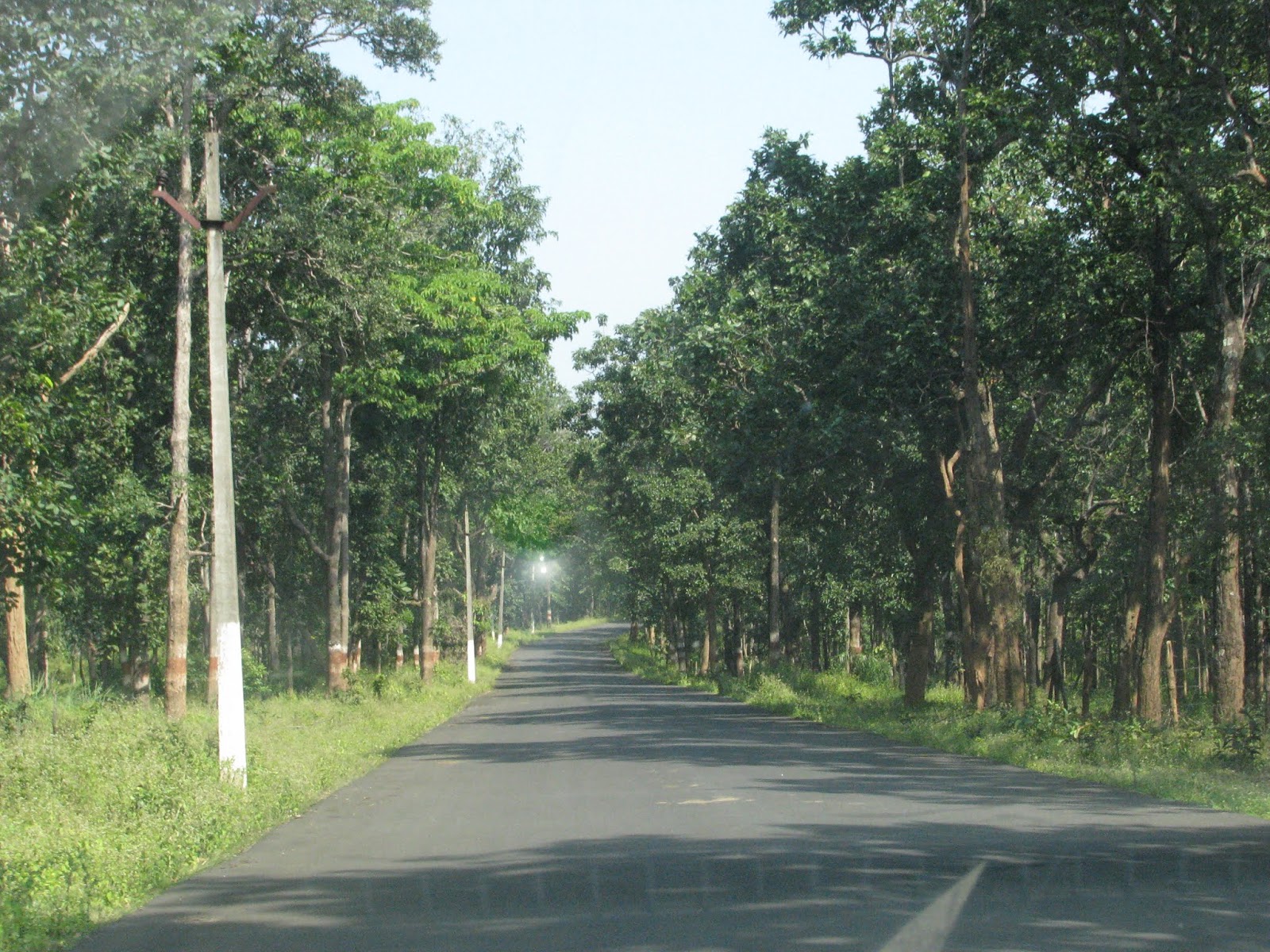
The road from Amarkantak to Keonchi
From Kapildhara we headed to NTPC-Korba via Keonchi -Pendra .

For accommodation, Bhakt Niwas lodge is OK . For food , Basant bhojanalay offers good food at reasonable rates. Both places are situated in the Amarkantak main town , near Narmada temple.

Amarkantak Schematic Map (not to scale)

Monday 15 October 2018

Chaiturgarh , a tiny hill-station

Chaiturgarh is a little known place in the Indian tourist circuit and mostly famous among the locals as a religious place. It is 77 Km from Bilaspur (via Pali) , 74 Km from Korba(NTPC-Colony) and 20 Km from Pali (Teh.Katghora,Dist.-Korba) . Chaiturgarh is an ancient hill-fort surrounded by thick forests and it has a temple of Maa Mahishasur mardini. The fort was built in the 8th century by Shankerdeva of Hayhaya dynasty. The fort has three main entrances which are named as Menaka dwar (North-east of the temple)Humkara dwar(south-east of the temple), and Simha dwar. (on the main approach road to the temple).The hilltop temple is surrounded by thick forests and a walk through these forests is a memorable experience for a nature lover. These cool shady forests surrounded with lush green valleys and majestic views of the countryside below  , makes it my favourite hill-station for one-day tour.


The grassy forest track is full of beautiful wild flowers and butterflies fly everywhere. The cool pleasant winds and the soothing fragrance of the forest makes the forest-walk a memorable experience.

The forest track runs along the periphery of the fort and has numerous view points offering magnificent views of the valleys , forests and the villages below.


The hilltop is a plain area of about 5 sq.Km and has five water ponds. Three of these ponds have water all round the year . The hilltop area can be classified in three areas viz : 
1. the temple area , 
2. the Shankar gufa to the north-east of the temple  and 
3. the  forest-walk area encompassing the south-east area of the temple . 

Presently the temple area is the main tourist place and the temple compound includes a Yagna mandap, a statue of Bal Hanuman and the priest house. On the right-side of the temple at a higher elevation is a beautiful lake.

The temple of Maa Mahishasur mardini

The lake near the temple

Simha dwar , while approaching the main temple
The main approach road to the 
hill top is full of greenery

On the left side of the temple , a walk of about 60 feet will lead to the Forest dept. Guest House.A view point near this Guest House offers excellent views of the surrounding areas.Near this Guest House is a shed housing a Hanuman statue. During ancient times the King's palace and the court was situated here. On the left of this Hanuman statue (rear-side of the Forest Guest House) is a mud track which bifurcates in two directions. The left track leads to Shanker Gufa (cave , 4 Km) and the right track leads to a forest-walk path (approx. 6 Km) which passes along the periphery of the fort and offers about 12-13 view points along its way. All view-points and small bridges along this path are constructed and maintained by the forest department.
From this bifurcation point follow the right-track to walk in the forest. This grassy mud track leads into the thick forest through the shady trees and  all along the way numerous butterflies can be seen. The forest track is dotted with beautiful wild flowers and the forest fragrance adds to the delight of the tourist.No drinking water or any shop is available along this 6 Km (approx.) walking track.Till now I visited this place four times and I have never encountered any wild animal in this area. One can observe nature at its best and the view-points along the track offer great views of the surrounding forests and hills.The music of the birds and the winds ruffling through the leaves makes the tourist spell bound.


Beautiful wild flowers along the way


After walking for about 25 min. one reaches a ruined structure on the left hand side.This is the Hunkara dwar (gate) , one of the three entrance gates to the hill fort of Chaiturgarh . From this gate a jungle track descends down in the deep forest.It seems that this jungle track is no more in use. Nearby this gate is a view point offering excellent views.

The ruins of Hunkara dwar 


View from a point near Hunkara dwar

Breathtaking views from the fort


There are around 12-13 view points along the forest track
The track slowly returns to the temple from the right-side.Before the temple, there is a beautiful lake and further walk leads to a old Helipad.This completes the forest-walk round of 6 Km(approx.).With normal walking speed and few minutes at each view-point, it takes around 2 hours to complete the forest walk.
The lake on the south-west of the temple


Sinha dwar , seen while approaching the temple

From the bifurcation point (mentioned above) , walking on the left leads to Shanker gufa on the north-east side of the temple .The path passes adjacent to the Forest Guest House. Near the Forest Guest House is view-point offering excellent views of the surrounding areas.


A view from the point near Forest Guest House


A distant view of the ridge leading to the Menaka dwar


View from the Forest GH view point


The way to Shankar Gufa proceeds further and leads through thick forests along a small mud track which passes over rock patches at some places. 


The forest track leading to Shankar Gufa
A rocky patch descending on the way to Shanker Gufa

Jungle lizard

Beautiful pebbles on the way 

Beautiful rocks on the way to Shankar gufa


This mud-track ends at the  ancient ruins of Menaka dwar .From here one can get commanding views of the forests all around.


The ruins of Menaka dwar
A view from Menaka dwar

A sun set from the Menaka dwar
From Menaka dwar one has to descend steeply in the northern-side through the jungle steps constructed in thick forests. After about half an hour of descend , a small water-tank is available to quench the thirst of the tourists.The water here is potable and has a very good taste.This water tank is available all around the year . Shankar gufa is approximately a walk of 20-steps from this water tank. 
The Shankar gufa seems to be a naturally formed rock-cave and the interiors has one tunnel to its right-side.This tunnel runs about 30 feet and ends in a very small cave.One has to crawl through this tunnel to reach the small internal cave. Both the caves (external and internal) house a Shivling and some locals stay there as Pujaris and custodian of the caves.The mystical caves surrounded by serene forests and lush green valleys adds a special effect to the tourist experience of Shankar Gufa.
The main entrance of the cave


Tunnel to the right side of the cave


The Pujaris at Shankar Gufa


A memorable sunset at Chaiturgarh

For a stay at Chaiturgarh fort , rooms of Forest Dept. Guest House are available at reasonable prices.Booking for rooms can be done from Forest Dept. Office at Pali . These rooms are not in regular use and electric supply may be unreliable. Drinking water in the rooms may not be available in the summers. During other seasons, water available is raw water drawn from the lakes. No other accommodation facility is available nearby. No restaurants are available on the hilltop, however 2-3 small restaurants are available at the foothills. The eatables available at these restaurants are simple local dishes like bhajiya(pakora) , wada (urad dal) and tea. Veg.thali may be available on request.
    Vehicle parking (4-wheeler) at the foothills is Rs.30/- (as on Oct 2018). Vehicles can be taken on the hill top at an additional charges of Rs.150/-.

Plastic pollution has already started in this place and considerable environment awareness is required on the part of tourists.

All photos by Sahil Nimsarkar

Chaiturgarh Schematic map (not to scale)